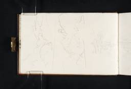
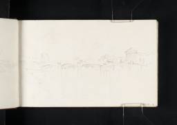
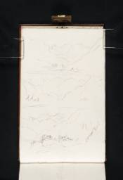
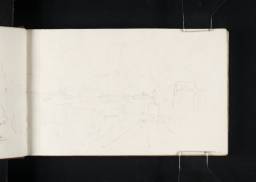
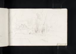
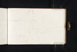
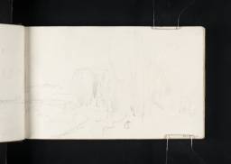
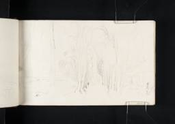
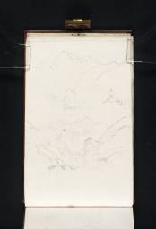
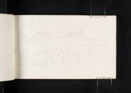
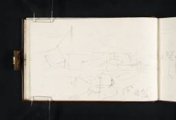
Turner Bequest CLXXIII
Brown leatherbound sketchbook, spine tooled in gold, with a brass clasp
89 leaves of white wove writing paper, approximate page size 114 x 185 mm
Made by William Balston of Springfield Mill, Maidstone, Kent; various pages watermarked ‘J WHATMAN | 1814’.
89 leaves of white wove writing paper, approximate page size 114 x 185 mm
Made by William Balston of Springfield Mill, Maidstone, Kent; various pages watermarked ‘J WHATMAN | 1814’.
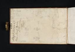
Inscribed in the inside front cover numbered ‘395’ as part of the Turner Schedule in 1854 and endorsed by the Executors of the Turner Bequest, inscribed in black ink ‘No.395 Contains 87 | leaves Pencil Sketches | H.S. Trimmer | C. Turner’ and initialled in pencil by John Prescott Knight, ‘JPK’ and Charles Lock Eastlake ‘C.L.E.’ bottom left, ascending left-hand edge
Accepted by the nation as part of the Turner Bequest 1856
Exhibition history
References
This sketchbook is the first of twenty-three used by Turner during his first tour of Italy in 1819. Following the artist’s own label the book is called ‘Paris, France, Savoy 2’, and this title not only reflects the fact that the contents depict the journey south-east through France to Savoy, but that this was the second time that Turner had been to this part of Europe. The first visit, undertaken in 1802, resulted in the France, Savoy, Piedmont sketchbook (see Tate; Turner Bequest LXXIII). Some overlap in subject matter also occurs with the Return from Italy sketchbook (Tate; Turner Bequest CXCII) when Turner retraced his steps on the return leg through northern Italy and France.
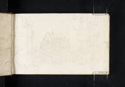
Art historian and Turner expert Cecilia Powell has estimated that the length of travelling time covered by this sketchbook (i.e. London to Mont Cenis) is likely to have been about two to three weeks during the late summer / early autumn of 1819.1 Turner left London on 31 July and travelled by packet-boat between Dover and Calais (see folio 1 verso, D13992).2 With Italy as the main focus of the trip he did not linger in France but opted to take the most direct route south-east to the Mont Cenis pass in the Alps. This meant taking a diligence (see folio 32 verso, D14041) on a well-established route from Calais via Boulogne, Montreuil, Bernay, Airaines, Granvilliers, Beauvais, Beaumont to Paris.3 The artist seems to have been uninterested by the scenery on this part of the journey. There are no known sketches relating to locations north of Paris except for a single study of the cathedral at Beauvais, see folio 1 (D13991), and there are only a small handful of Parisian views including prospects on the River Seine from the city centre and at St-Cloud in the western suburbs, see folios 2–14 (D13993–D14013). Similarly Turner does not seem to have used the sketchbook on the next leg of the journey through Sens, Auxerre and the Côte d’Or.4 He finally began a sustained sequence of sketches at Chalon-sur-Saône where he boarded a water diligence (coche d’eau) in order to sail down the River Saône via Tournus, Mâcon and Villefranche to Lyon, see folio 43 (D14057). He probably stayed at least one night in Lyon, giving him enough time to make another small group of topographical drawings including studies of the Place de l’Antiquaille and the cathedral, see folios 51 and 52 (D14071 and D14072).
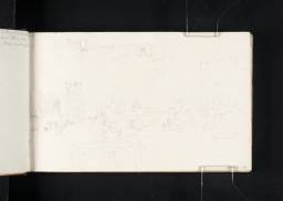
The route from Lyon continued by road to Le-Pont-de-Beauvoisin, see folio 57 (D14080), where Turner crossed the border into Savoy, an independent state which, since 1720, had formed a kingdom with Sardinia ruled by the Dukes of Savoy. His arrival into Savoyard territory (which in 1819 still extended over the Alps into Italy) also marked his first encounter with mountainous scenery as he approached the Chartreuse Mountains and the French Alps. His fascination with Alpine landscape and his interest in the recent improvements by Napoleon to routes traversing this terrain are evidenced by the large number of sketches relating to this part of his itinerary, see for example the Voie Sarde and the new tunnel near Les Échelles (folio 73, D14112), or the numerous prospects of the Maurienne valley (for example folio 77 verso, D14119). The most important Napoleonic project was undoubtedly the construction of the pass of Mont Cenis which during this period represented the principal route for crossing the Alps from France to Italy. Rather surprisingly there are relatively few relevant sketches found within this sketchbook (for example folio 28 verso, D14033), although Turner afforded it greater attention in the Return from Italy sketchbook (Tate; Turner Bequest CXCII).
The final pages in the sketchbook are devoted to the village of St-Michel-de-Mauriennes (see folio 89, D14142). However, the turning of the pages does not always follow the logical sequence of Turner’s itinerary and throughout the sketchbook subjects appear at random and frequently interrupt the geographical progression of the route. The Parisian drawings for example are interspersed with mountainous scenery relating to locations in Savoy and Mont Cenis, whilst views of Lanslebourg and Termignon can be found amidst the sketches of the Voie Sarde (folios 68 verso–69, D14103–D14104 and D14107). Often these out-of-sequence subjects have been executed on the verso of the page and this suggests that the artist may have started out by leaving the versos blank and then revisiting them in order to complete later sketches, irrespective of the disruption this represented. Turner may adopted this approach in order to mark his arrival in Italy with a new sketchbook, i.e. the Turin, Como, Lugarno, Maggiore sketchbook (Tate, Turner Bequest CLXXIV).
See a letter from the artist to Robert Stevenson reproduced in John Gage (ed.), Collected Correspondence of J.M.W. Turner, Oxford 1980, p.80. See also Powell 1989, p.20 and Hamilton, Moorby, Baker et al. 2009, p.39.
The post stations between Calais and the Mont Cenis pass were frequently listed in contemporary guidebooks, for example Mariana Starke, Travels on the Continent written for the Use and Particular Information of Travellers, London 1820, p.609.
According to Starke 1820 the full list of post stations from Paris to the Italian side of the Mont Cenis pass was: Montgéron, Melun, Monterau, Sens, Joigny, Auxerre, Lucy-le-Bois, Rouvray, Saulieu, Arnay-le-Duc, La Rochepot, Chalon-sur-Saône, Tournus, Macon, Villefranche, Lyon, La Verpellier, Le Tour du Pin, Les Echelles, Chambery, Montmélian, Aiguebelle, St-Jean-de-Maurienne, S. Michel, Modane, Lanslebourg, La Grande Croix, Susa.
Technical notes
How to cite
Nicola Moorby, ‘Paris, France, Savoy 2 sketchbook 1819’, sketchbook, March 2013, in David Blayney Brown (ed.), J.M.W. Turner: Sketchbooks, Drawings and Watercolours, Tate Research Publication, August 2013, https://www

