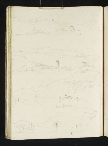
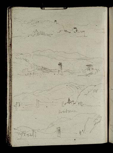
Compactly layered on one page, these four views record the stretch of the Rhône valley towards Andance, located on the right bank of the river. Turner approached this town as he journeyed south by boat from Lyon to Avignon. The uppermost sketch is an unidentified riverside village along the route. The study beneath has been identified by the geographer and Turner researcher Roland Courtot as the suspension bridge connecting Serrières to Sablons, north of Andance.
1 Built in 1828, the bridge is contemporaneous with the present study. It was replaced by 1933, destroyed during the German retreat of 1944, and subsequently reconstructed. Turner’s north-facing view is from downstream, looking back to observe the distant peaks of Mont Pilat.
To the left of the third study, identified by Turner’s inscription ‘Andance’, is the Andance suspension bridge, another feat of modern engineering. To the right is the spire of the Église Notre-Dame d’Andance. The suspension bridge is captured from closer proximity in the bottom sketch, which includes the village of Andancette to the left.
Built just a year before Turner’s journey, the bridge at Andance was designed by the engineer Marc Séguin, inventor of the wire-cable suspension bridge. It was possibly still under construction when Turner executed this study, although its state of completion is difficult to establish from his rapid pencilwork. Unlike the bridge at Serrières, the original bridge at Andance remains in situ today, making it the oldest suspension bridge in France.


