Joseph Mallord William Turner The Tamar Manure Navigation Canal, beside the River Tamar at Weir Head, Gunnislake ?1813
Image 1 of 2
Joseph Mallord William Turner,
The Tamar Manure Navigation Canal, beside the River Tamar at Weir Head, Gunnislake
?1813
Joseph Mallord William Turner 1775–1851
Folio 53 Verso:
The Tamar Manure Navigation Canal, beside the River Tamar at Weir Head, Gunnislake ?1813
D10279
Turner Bequest CXXXVII 50a
Turner Bequest CXXXVII 50a
Pencil on white wove paper, 181 x 228 mm
Blind-stamped with the Turner Bequest stamp lower right of centre
Blind-stamped with the Turner Bequest stamp lower right of centre
Accepted by the nation as part of the Turner Bequest 1856
References
1909
A.J. Finberg, A Complete Inventory of the Drawings of the Turner Bequest, London 1909, vol.I, p.395, CXXXVII 50a, as ‘Road leading past square-shaped tower, with same hill in distance ([as] p. 49a [folio 52 verso; D10277])’.
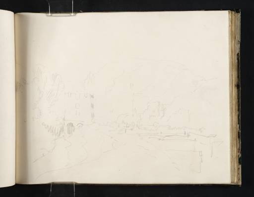
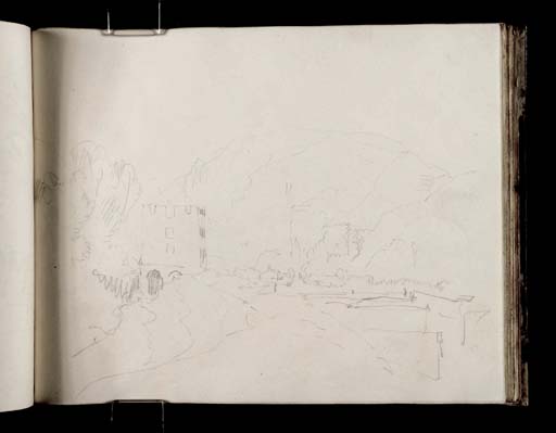
Turner’s viewpoint is the Cornish bank of the River Tamar, looking north-north-east to the southern lock gates of the Tamar Manure Navigation Canal, with Chimney Rock in profile on the Devon skyline beyond. The sketch is inverted relative to the sketchbook’s foliation. The canal was constructed in the 1790s to bypass the weir at the tidal limit of the river.1 The castellated building on the left was or became a bone mill, later adapted or replaced by a more conventional building with a pitched roof,2 which does not survive; the banks of the river and canal are now thickly wooded, and the latter is no longer navigable. There is a view from further away on folio 52 verso (D10277; Turner Bequest CXXXVII 49a), and a view of this part of the valley from the north on folio 54 verso (D10281; CXXXVII 51a).
The geography and history of the Gunnislake area, including the canal, have been discussed by Diana Cooke and Dorothy Kirk3 in relation to Turner’s painting Crossing the Brook, exhibited in 1815 (Tate N00497),4 which focuses on Newbridge, Gunnislake, a little to the north. The sketches around the canal in the present sketchbook are not mentioned, although they reproduce Turner’s distant prospect of the river and canal from the south in the Devon Rivers, No.1 sketchbook (Tate D09660; Turner Bequest CXXXII 143).5
The present sketchbook contains numerous views in and around the Tamar and Tavy valleys between folios 46 verso (D10265; CXXXVII 43a) and 58 verso (D10289; CXXXVII 55a), probably made in the summer of 1813 in conjunction with those in the smaller Devon Rivers, No.1 book. The latter is covered in the section of the present catalogue specifically devoted to Turner’s 1813 visit to Devon, where further information on Turner’s work in the locality will be found.
Matthew Imms
May 2011
See Diana Cook and Dorothy Kirk, Turner in the Tamar Valley: Following in Turner’s Footsteps along the River Tamar, Drakewalls 2009, p.19.
Compare vintage photograph in ibid., p.41, and Kirk’s modern photograph of the ‘remains of the lock gates’, p.40.
How to cite
Matthew Imms, ‘The Tamar Manure Navigation Canal, beside the River Tamar at Weir Head, Gunnislake ?1813 by Joseph Mallord William Turner’, catalogue entry, May 2011, in David Blayney Brown (ed.), J.M.W. Turner: Sketchbooks, Drawings and Watercolours, Tate Research Publication, December 2012, https://www


