J.M.W. Turner: Sketchbooks, Drawings and Watercolours

ISBN 978-1-84976-386-8

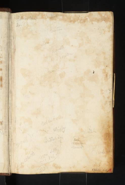
Joseph Mallord William Turner Sketch Map of North-West and Central Yorkshire c.1816

Joseph Mallord William Turner 1775–1851
Folio 1 Recto:
Sketch Map of North-West and Central Yorkshire c.1816
D11596
Turner Bequest CXLIX 1
Pencil on white wove paper, 149 x 93 mm
Inscribed by Turner in ink and pencil with place names (see main catalogue entry)
Inscribed ?by John Ruskin in red ink ‘1’ bottom right
Stamped in black ‘CXLIX 1’ bottom right
 
Accepted by the nation as part of the Turner Bequest 1856
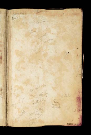
This is the right half of a double-page spread, continued from the inside front cover (D40859), opposite, drawn with a sketch map of north-west and central Yorkshire. In ink and pencil Turner has marked ‘Burneston | Exilby’ (Burneston and Exelby, immediately east of Bedale and Snape Park), top left; in pencil ‘Aysgarth’, ‘Kettlewell’ ‘Bolton Hall’, ‘Wensley’, ‘Middleham’, ‘Cover Abby and vale’, and south west of there ‘?L...(illegible, but the road from here runs over to Kettlewell), ‘Newton (Newton le Willows), ‘Thornton | Steward’, ‘Bedale’, ‘Snape Pk’, on the lower part of the map, and ‘Kettlewell’, ‘Coniston’, ‘Linton’, ‘Burnsall’ ‘Bardon’ and ‘Tower’ on the map of top and central Wharfedale towards the top of the page, reading from north to south.
Turner sketched at Middleham and in Coverdale on a separate itinerary recorded in the Yorkshire 1 and Yorkshire 3 sketchbooks (Tate D10868–D11041; D40846–D40848; Turner Bequest CXLIV; Tate D11372–D11441; D40835–D40838; Turner Bequest CXLVI). He did not, however, visit the Upper Eden Valley or Upper Swaledale, although he did pass close to Wensley, Bedale, Burneston, Exelby, Thornton Steward, Norton and Snape Park. If he sketched the map as preparation for the tour of 1816, in the event he changed his plans.
Verso:
Blank

David Hill
October 2008

How to cite

David Hill, ‘Sketch Map of North-West and Central Yorkshire c.1816 by Joseph Mallord William Turner’, catalogue entry, October 2008, in David Blayney Brown (ed.), J.M.W. Turner: Sketchbooks, Drawings and Watercolours, Tate Research Publication, December 2013, https://www.tate.org.uk/art/research-publications/jmw-turner/joseph-mallord-william-turner-sketch-map-of-north-west-and-central-yorkshire-r1143741, accessed 22 November 2024.