Joseph Mallord William Turner A Cliff Road, Probably between Folkestone and Dover c.1821-2
Image 1 of 2
Joseph Mallord William Turner,
A Cliff Road, Probably between Folkestone and Dover
c.1821-2
Joseph Mallord William Turner 1775–1851
Folio 5 Verso:
A Cliff Road, Probably between Folkestone and Dover c.1821–2
D17215
Turner Bequest CXCVIII 5a
Turner Bequest CXCVIII 5a
Pencil on white wove paper, 113 x 187 mm
Inscribed by Turner in pencil ‘G’ bottom towards the centre
Inscribed by Turner in pencil ‘G’ bottom towards the centre
Accepted by the nation as part of the Turner Bequest 1856
References
1909
A.J. Finberg, A Complete Inventory of the Drawings of the Turner Bequest, London 1909, vol.I, p.604, CXCVIII 5a, as ‘Road over cliffs; Probably between Folkestone and Dover’.
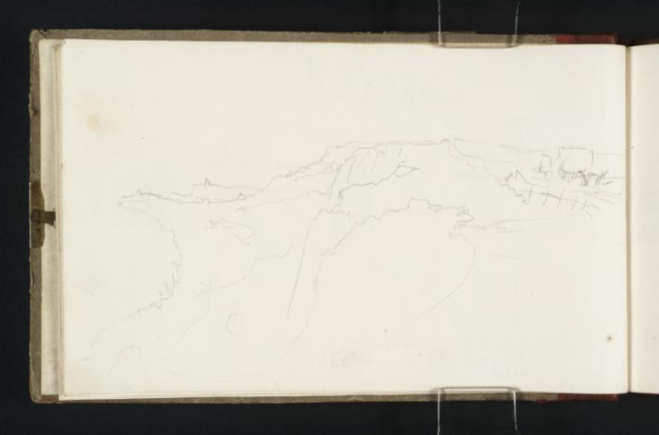
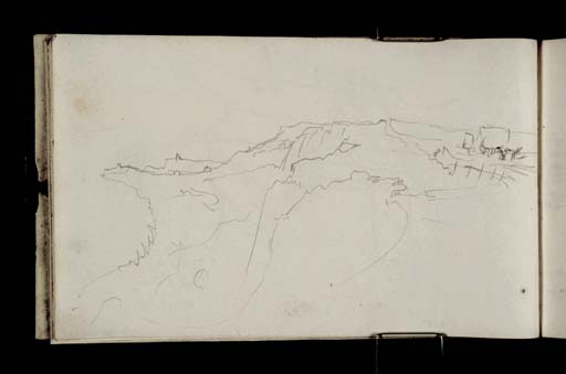
The prospect describes, as noted by Finberg, a coastal road on the edge of a line of cliffs.1 The track is occupied at far right by a horse-drawn carriage. Turner records the view from the high point of the road, simultaneously looking down towards the shore at the foot of the cliffs. In the foreground an abrupt, rocky drop gives way to gently sloping turf, annotated ‘G’ by Turner possibly to remind himself of the sliver of green grass before the sea.
Finberg suggests that the view here was taken between Folkestone and Dover.2 Indeed, the prospect seems distantly to describe Folkestone with East Wear Bay to the left, observed from the coastal road situated along what is now known as the Dover-Folkestone Heritage Coast. It is possible to make out the squat forms of two Martello towers along the distant headland; two of a raft of small defensive forts built along the southern coast of England between 1805 and 1812 by the British government in response to the invasion threat posed by Napoleon.3 These distinctive landmarks feature throughout the present sketchbook, marking and distinguishing the Kent coast with their unmistakable squat profiles. The studies in which they are illustrated can be found on folios 17 verso, 20 verso, 21 verso, 24 verso, 32 recto, 36 recto, 37 verso, 38 recto, 40 verso, 44 recto, 47 recto, 54 recto, 57 verso, 58 recto, 59 verso, 61 recto, 73 verso, 74 recto, 75 verso, and 91 recto (D17235, D17240, D17242, D17248, D17261, D17268, D17270–D17271, D17276, D17280, D17285, D17295, D17301–D17302, D17305, D17308, D17332–D17333, D17335, D17363). Distinct slices of land on the far left of the drawing indicate where Folkestone harbour sits between the towers on this page.4
Maud Whatley
January 2016
‘Dymchurch Martello Tower’, English Heritage, accessed 22 September 2015, http://www.english-heritage.org.uk/visit/places/dymchurch-martello-tower/ .
How to cite
Maud Whatley, ‘A Cliff Road, Probably between Folkestone and Dover c.1821–2 by Joseph Mallord William Turner’, catalogue entry, January 2016, in David Blayney Brown (ed.), J.M.W. Turner: Sketchbooks, Drawings and Watercolours, Tate Research Publication, February 2017, https://www


