Joseph Mallord William Turner ?The Hohenstaufen Hill, near Göppingen 1833
Image 1 of 2
Joseph Mallord William Turner,
?The Hohenstaufen Hill, near Göppingen
1833
Joseph Mallord William Turner 1775–1851
Folio 8 Verso:
?The Hohenstaufen Hill, near Göppingen 1833
D32557
Turner Bequest CCCXXII 9a
Turner Bequest CCCXXII 9a
Pencil on white laid paper, 105 x 170 mm
Partial watermark: base of unicorn motif
Inscribed by Turner in pencil ‘Road’ bottom centre
Partial watermark: base of unicorn motif
Inscribed by Turner in pencil ‘Road’ bottom centre
Accepted by the nation as part of the Turner Bequest 1856
References
1909
A.J. Finberg, A Complete Inventory of the Drawings of the Turner Bequest, London 1909, vol.II, p.1035, CCCXXII 9a, as ‘Do.’ (i.e. ditto: ‘Mountains’).
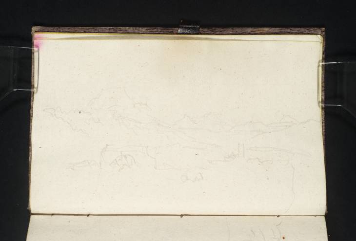
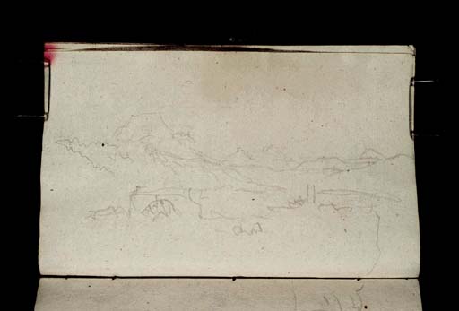
With the page turned horizontally, a broad valley lies below a skyline of carefully differentiated hills. The flat-topped peak towards the left is particularly distinctive, and may be the conical Hohenstaufen, north-east of Göppingen, which is crowned by a ruined castle, albeit inconspicuously at this range. The features along the ‘Road’ in the foreground are loosely rendered, but may include a watermill towards the left; the mountain rises to the north of the route discussed below. There is a hill with a similar profile among the miscellaneous views on folio 15 recto (D32570; CCCXXII 16).
This sketchbook covers Turner’s homeward route from Augsburg north-westwards to Rotterdam (see under folios 1 verso and 14 recto respectively; D32543, D32568; CCCXXII 2a, 15). As set out in the Introduction, although his general itinerary is clear from many identified subjects as he travelled down the River Rhine, they were are not drawn in a single sequence, making the less well-known subjects between them difficult to place. Göppingen lies between Ulm and Stuttgart, and Turner may have travelled back that way1 from Augsburg through the Alpine Swabian Jura, retracing the route of the tour’s outward leg.
The recto (D32556; CCCXXII 9) may depict a hillside watchtower at Geislingen, not far south-east of Göppingen, and the suggested identification of the present view is partly prompted by that possibility. If correct, the two subjects would be the only ones identified between Augsburg and Worms on the Rhine (see folio 61 recto; D32659; CCCXXII 62), roughly 140 miles to the north-west as the crow flies.
The irregular vertical line towards the bottom right is a cursory continuation of the skyline from the view of a tower on a hill on folio 9 recto opposite (D32558; CCCXXII 10).
Technical notes:
The pale brown staining at the centre of the outer edge is owing to the leaf’s proximity to the leather pencil loop anchored under the front paste-down (D32541; CCCXXII 1).
Matthew Imms
November 2019
How to cite
Matthew Imms, ‘?The Hohenstaufen Hill, near Göppingen 1833 by Joseph Mallord William Turner’, catalogue entry, November 2019, in David Blayney Brown (ed.), J.M.W. Turner: Sketchbooks, Drawings and Watercolours, Tate Research Publication, March 2023, https://www


