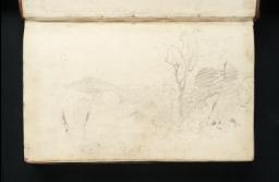
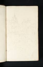
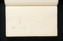
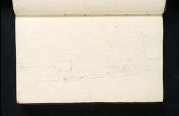
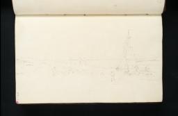
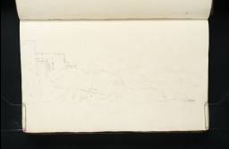
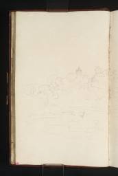
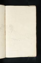
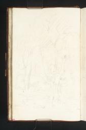
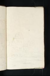
Turner Bequest LVI 1–185
Sketchbook bound in boards covered in calf leather with gold-tooled edges and spine, one brass clasp (now missing)
187 leaves of white wove paper; page size 184 x 114 mm; watermark ‘C Wilmott | 1797’
Inscribed by Turner in brown ink ‘18 of July left Edinburgh | and on the 5 of August finish’d | this Book at Gretna Green’ inside front cover, inverted relative to the foliation, at top
Inscribed in pencil ‘(S.15)’ inside front cover, top left
Stamped in black ‘LVI’ inside front cover, inverted, top left
Inscribed by Turner in brown ink ‘Edinburgh to Roslyn 6 M ¼’ inside back cover, inverted relative to the sketchbook’s foliation, top left
Numbered 152 as part of the Turner Schedule in 1854, and endorsed by the Executors of the Turner Bequest, Henry Scott Trimmer, John Prescott Knight and Charles Lock Eastlake ‘No 152 | H.S. Trimmer | 199 Leaves of sketches in pencil | & 3 – Do in colours 202 in all’ and in pencil ‘JPK’ and ‘C.L.E. | for leaves read pages drawn upon’ inside back cover, inverted, towards top
Inscribed by Ralph Nicholson Wornum in pencil ‘two out 1868 | R. N. W :’ inside back cover, inverted, towards bottom
Inscribed in pencil ‘LVI’ inside back cover, inverted, top left
Accepted by the nation as part of the Turner Bequest 1856
References
The Scotch Lakes book is the principal record of Turner’s tour of the Highlands of Scotland in 1801, supplemented by the less substantial Tummel Bridge book (Tate; Turner Bequest LVII), by some studies in pencil and wash in the Smaller Fonthill sketchbook (Tate; Turner Bequest XLVIII, now largely dispersed; see the ‘Architectural and Other Subjects c.1797–1807’ section of this catalogue), and by the unusual series of so-called ‘Scottish Pencils’ (Tate; Turner Bequest LVIII), large-scale monochrome drawings almost certainly made during the tour, though probably not on the spot in most cases. Finberg recorded in his copy of the Inventory: ‘There are no sketches [in this sketchbook] between Loch Lomond & Inverary. He must have gone from Arrochar round the head of Loch Long through Glencroe. The sketches are probably those in the so-called “Tummel Bridge” Sketch Book.’1 Turner also seems to have made no sketches between Stirling and the Clyde.
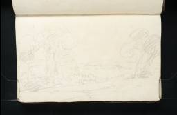
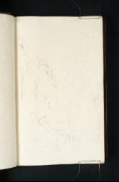
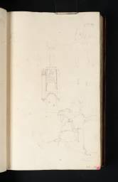
With the exception of a few leaves worked up in watercolour, the drawings in this book are slight notes, some of which appear to have been made while Turner was moving, perhaps on horseback, or during very brief stops. It has been thought that they mark a lack of interest in the country; Gerald Wilkinson asks, rather oddly, ‘is this art?’, and answers his own question: ‘Some of it most certainly is – for the rest, it is only Turner getting the lie of the land.’2 By working very swiftly, Turner was able to assemble, in a very short time, a remarkably detailed account of his itinerary through the Highlands. He was not attempting to produce ‘art’ at all at this stage of his information-gathering progress; though the ‘Scottish Pencils’ raise a germane question as to the function of his drawings.
Although there are many subjects that occupy a single leaf, the characteristic format of the drawings in this book is the double-page spread, which affords space both for detail when it is required and also for the laying-out of quasi-formal compositions, where the view witnessed is moulded into the shape of a pictorial idea, rather as the Picturesque theorist the Reverend William Gilpin (1724–1804) had recommended. The instinct to capture in his spontaneous sketches the pictorial potential of the scenes through which he passed was already well established and was to become habitual with Turner. He also recurs to his occasional practice in the North Welsh mountains of extending a panorama on to a third, or even a fourth page; compare subjects in the 1799 Dolbadarn sketchbook (Tate D02095, D02097–D02098; Turner Bequest XLVI 64a, 65a, 66).
What is most significant, perhaps, is the absence of detailed architectural drawings on this tour. Obviously the scenery of the Highlands possessed its own topographical and picturesque value, but in the past he would certainly have stopped to draw in some detail a structure like, say, Dunkeld Cathedral; see for instance his careful record of the gothic architecture of St Winifred’s Well, St Asaph in the Dolbadarn book (Tate D02021–D02022; Turner Bequest XLVI 18a–19). In 1801 Dunkeld appears only as a feature in a broader view. Stirling Castle, likewise, is recorded as a salient element in a series of picturesque compositions, not as an object of antiquarian interest per se. The inscriptions identifying the views in this sketchbook seem mostly to have been added later, sometimes clarifying hasty annotations made on the spot (see for example folios 48 recto and 50 recto; D03002, D03006; Turner Bequest LVI 46, 48). They usually, though not invariably, occur in the lower right corner of right-hand pages, regardless of the direction of the subject.
The tour had begun with a journey up the east coast of England to Berwick and Dunbar, recorded in the Chester, Guisborough Shore and Dunbar sketchbooks (Tate; Turner Bequest LXXXII, LII, LIV); then a stay in Edinburgh, documented in the Edinburgh sketchbook (Tate; Turner Bequest LV). The present book was used in conjunction with the Tummel Bridge sketchbook and, presumably, the Scotch Figures sketchbook (Tate; Turner Bequest LVII, LIX). It begins with the crossing of the Forth at Queensferry, then lingers in Linlithgow before recording a journey through Dumbarton and up the west coast to Loch Lomond and Loch Fine. Turner went on to Loch Awe and inland to Crianlarich, Killin and Loch Tay. From Taymouth he travelled north to Tummel Bridge and Glen Errochty, then east to Killicrankie and Blair Atholl, the most northerly point of the journey.
Turner’s route south took him from Dunkeld along the course of the River Bran to Amulree and Crieff, then Dunblane and Stirling, before he reached the Clyde and the Solway Firth on the west coast. Noting ‘18 of July left Edinburgh and on the 5 of August finish’d this Book at Gretna Green’,3 he then proceeded to the Lake District, Chester and the South. Turner’s triumphant inscription, upside down on what is now the inside front cover of this book, must have been made at the end of the Scottish tour, and the Executors of the Turner Bequest seem to have understood the book as starting at the opposite end, since that is where they endorsed it (as transcribed above). Nevertheless the drawings seem mostly to have been made as if from the current front end, as numbered and as catalogued by Finberg. Compare the Dunbar sketchbook (Tate; Turner Bequest LIV), which was certainly used in an order the reverse of its present numbering.
Turner’s ability to travel at speed, as he clearly did, in the remoter parts of the Highlands will have been much expedited by the famous network of military roads constructed by Major-General (later Field-Marshal) George Wade (1673–1748) between 1724 and 1740 after the Jacobite rebellion of 1715: see the Tummel Bridge sketchbook (Tate D03282–D03283; Turner Bequest LVII 3a–4). These roads were used by both sides in the uprising of 1745. Wade employed up to 500 troops over ten years in building 250 miles of roads, including forty bridges. His bridge over the Tay at Aberfeldy, designed by William Adam (1689–1748), is a masterpiece which Turner unfortunately missed on his otherwise remarkably comprehensive itinerary. On the other hand, the striking hump-backed bridge that Wade built over the River Tummel occupied him in several drawings in the ‘Scottish Pencils’ series (Tate D41441, D03418, D03419; Turner Bequest LVIII [38 verso], 39, 40) and a little later in a small oil painting (Yale Center for British Art, New Haven).4
The steady stream of rapid yet informative studies of broad landscapes in this book is occasionally punctuated by more intimate subjects, usually trees in small groups. The first series of these is at Taymouth Park, the second on the banks of the River Tilt at Blair Atholl, the third, less extensive, at the Hermitage, near Dunkeld. There are further drawings of trees in the Tummel Bridge sketchbook (Tate D03277–D03279; Turner Bequest LVII 1, 1a–2), and a related ‘Scottish Pencil’ (Tate D03435; Turner Bequest LVIII 56). In these we may sense a reaction to the increasing pervasiveness, in the Highlands of Turner’s day, of softwood plantations of larch and spruce, which had been introduced by landowners such as the 3rd and 4th Dukes of Atholl in the late eighteenth century, and had attracted the disapproval of landscape theorists like the Gilpin. The impatient zigzag scribbles that indicate the texture of the hills surrounding the Tay on, for example folios 115 verso–116 recto or 123 verso–124 recto (D03135–D03136, D03151–D03152; Turner Bequest LVI 113a–114, 121a–122) may betray a similar dislike on Turner’s part; though he was less likely than Gilpin to object to innovation, he may have relished the individual character and texture of older trees and less commercially motivated planting, and so taken time to enjoy places where these were distinctively dominant.
Finberg recorded Turner’s paper label (since lost) ‘on back [i.e. the spine] – “39. Scotland.”’5
The compiler is grateful for advice and assistance from Elspeth King of Stirling Smith Art Gallery and Museum, John and Lesley Stein, and Niall Bowser.6
Undated MS note by Finberg (died 1939) in interleaved copy of Finberg 1909, Tate Britain Prints and Drawings Room, I, opposite p.145.
Finberg 1909, I, p.143, with transcription; see also Henry J. Crawford, ‘Turner’s Sketches and Drawings of Stirling and Neighbourhood’, Stirling Natural History and Archaeological Society Transactions, vol.59, 1936, p.15.
Technical notes
How to cite
Andrew Wilton, ‘Scotch Lakes sketchbook 1801’, sketchbook, May 2013, revised by Matthew Imms, April 2015, in David Blayney Brown (ed.), J.M.W. Turner: Sketchbooks, Drawings and Watercolours, Tate Research Publication, April 2016, https://www

